

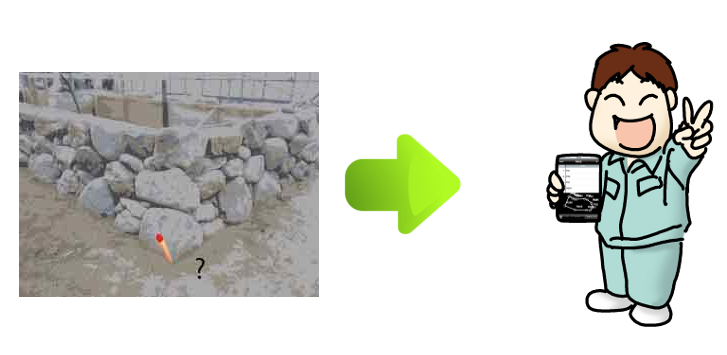
You can see the position of the coordinate values, and distance in the field.
I can read Sima coordinate. I can also be attached to an e-mail.
In order to coordinate values are not eliminated in the field mainly, please have the purpose of preliminary.
You can also from the company, you send me the coordinates Sima.
Surveying site, essential application. You can check the position, distance, etc. of the coordinate values at the site. When there is no coordinate value required at the site, it is also possible to have Sima coordinates sent from the company and read. It is possible to read from the attached file of the mail. In various intersection calculations, you can calculate it by reading the read coordinate values. Since inputting numerical values is difficult, the input button has also become larger. I made it possible to measure the approximate area of mountains and fields from aerial photographs.

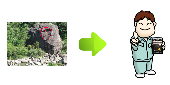
If there is no coordinate value at the survey site, it will be a fatal mistake. In such a case, you can ask the company to send coordinate values by e-mail. It is also possible to have the coordinate value as a spare for loss in the field.

You may be asked about coordinate values at the survey site. It is convenient to calculate how quickly it is broken. Whether or not there is a point on the straight line is calculated by calculating the perpendicular distance between the two points and the point of interest and, if the value is 0, it is on a straight line.
Sometimes it is necessary to have the land area at this point in the survey site. In such a case, you can immediately check the area by inputting the coordinate value you have obtained.
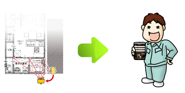
When the direction pile comes to a point where it can not be installed at the survey site, recalculate the distance of the direction pile from the center. In that case, we use the distance between two points of “Mr.survey “. You can recalculate by entering the distance from the center to the center coordinates as A point, the direction pile as B point and the latter as L =. The calculated coordinates can be registered.
If the machine point changes, find the coordinate point value of the machine point as (0, 0) and obtain ΔX, ΔY as the offset point. Then recalculate with survey. You can see the angle and distance.